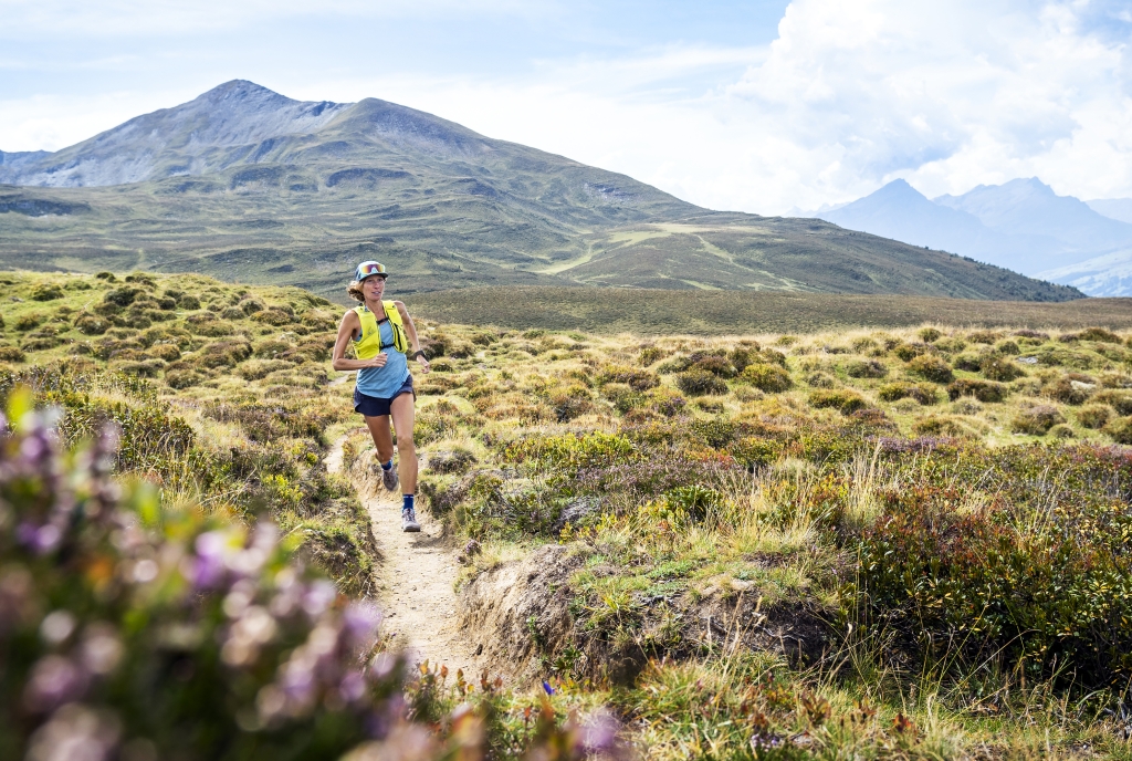

The KURZA trail leads from the start at the mountain restaurant on Brambrüesch on a slightly sloping starting route to the Mittelmaiensäss, then via the Edelweisshütte up to the Malixer Alp and further on a direct path to the highest point, the Hühnerköpfen. From there it goes back over the Spundissee to Malixer Alp and down to the destination.
At 6.7 km and +410 / -410 meters in altitude, this circular route is easy for all runners who train regularly and gives a first impression of what trail running is.
UFFA
After starting on the Quaderwiese in the heart of Chur, the UFFA trail leads through the picturesque old town of the canton’s capital, the Obergasse, the Obertor and up to the Rosenhügel.
There the route changes from asphalt to forest paths and varied (single) trails, which lead up to the first viewpoint on Juchs. A steep and challenging climb takes you up to the highest point at Spundisköpf Lake, from there on a varied trail over the Spundisköpfe to the Brambrüesch mountain station and to the finish at the mountain restaurant.
At 12.5 km and +1,300 / -250 meters in altitude, this route also offers strong mountain runners a real sporting challenge.
OBA
The first kilometer of the OBA trail leads on an asphalt road past the Edelweisshütte to the parking lot, from where the Pradaschier mountain station is reached via a panoramic path. The trail leads over Alp Pradaschier back to Grüenenbüel, then over a climb to the high plateau of Term Bel. From here you reach the historic Dreibündenstein, the highest point on the route, which offers a wonderful view of the whole of Central Bünden.
A varied trail takes you down to the Term Bel ski hut and from there along the panoramic path, past the Lady Patricia memorial stone with a fascinating view of Domat Ems and Chur. The last section from the Hühnerkopfen corresponds to the route of the KURZA.
With 15.0 km and +800 / -800 meters in altitude, this circuit is preferred by runners who are experienced in running on single trails and have good sure-footedness even downhill. A wonderful view is guaranteed on several sections.
LANGA
Runners who appreciate steep climbs but are also looking for more technically demanding sections of the route have come to the right place with the LANGA trail. The exertion is compensated for by the numerous viewpoints spread along the route.
The LANGA trail connects the two trails UFFA and OBA and, with 27.5 km and +2100 / -1050 meters in altitude, is aimed at complete, well-trained, endurance runners.